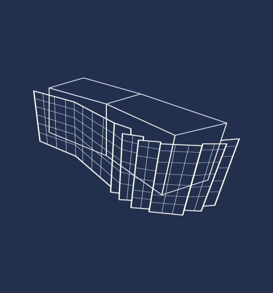
 Photographs to monitor your structures
Our drone is equipped with a very high resolution photogrammetric camera that can
take pictures pointing towards the nadir or the zenith. This allows us to reach millimeter
precision in the position of points in various configurations.
- The drone can cover very large areas and can fly in rough areas or at altitude.
- The flight plan is fully automated to ensure productivity and time savings. This allows to plan in advance the customer's expectations and the quality of the desired renderings.
- Different renderings can be derived from these point clouds being useful for different applications. Our photogrammetric surveys can also be used on land for more restricted applications or when flying is not possible.
- Photogrammetry can also be used to complete visual inspections, especially in hard-to-reach areas.

Talk to our experts

Applications
PHOTOGRAMMETRY

Monitoring and surveillance of :
- Bridges.
- Linear works (dams, networks, etc.).
- Elevation works (wind turbines, facades, etc.).
- Careers.
Monitoring and surveillance of :
- Bridges.
- Linear works (dams, networks, etc.).
- Elevation works (wind turbines, facades, etc.).
- Careers.
FEATURES | Photogrammetry |
|---|---|
SENSOR | |
Technology | INTEL® FALCONTM 8+ DRONE |
Rotors | Octocopter |
Shooting angle | 180° [-90° ; + 90°] |
Resolution | 36 MPx |
Size | 768*817*160 mm |
Weight | 2,2 kg |
Autonomy | 16 mn |
Operating temperature | From -5°C to 45°C |
Need to generate georeferenced point clouds?


