Topographic surveys
SOCOTEC offers topographic surveys to determine point coordinates and monitor their movements.
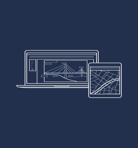
![]() SOCOTEC assists in the operation and maintenance of your project with technological and data expertise.
SOCOTEC assists in the operation and maintenance of your project with technological and data expertise.

Talk to our experts


Your Challenges:
- Monitoring civil structures
- Tracking sensitive areas and soil movement
- Managing construction projects
- Measuring in underground environments
Our Offer:
- Real-time topographic data collection for infrastructure monitoring
- Precise sensors and solutions for risk prevention
Topographic Solutions :
#1
- Photogrammetry
#2
- Topographic prisms
#3
- 3D scanning/lasergrammetry
DATATYS
Visualize and analyze your data in real-time on Datatys. Our web platform offers:
- Unique SaaS web platform ;
- Automatic data collection, processing, and visualization ;
- Adaptable for all project types ;
- Learn more about Datatys.
- Unique SaaS web platform ;
- Automatic data collection, processing, and visualization ;
- Adaptable for all project types ;
- Learn more about Datatys.
Our Commitments:
- Expertise in infrastructure monitoring ;
- Data processing and interpretation capabilities ;
- Presence in 27 countries worldwide.
Do you need to monitor your infrastructure movements?